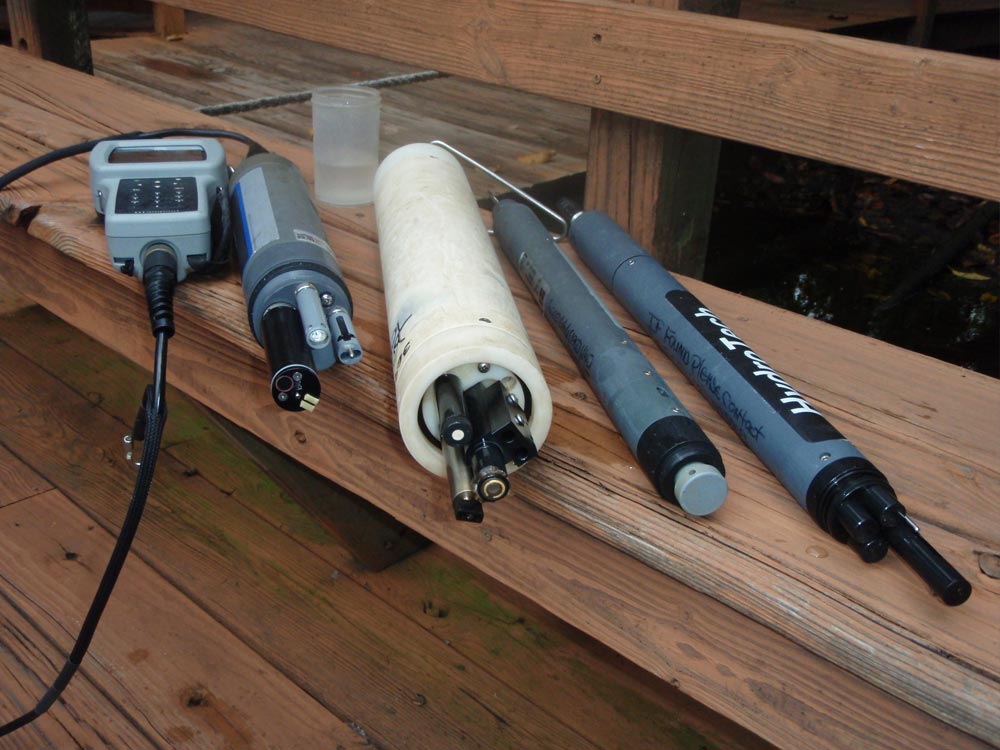
Since 2004, the Loxahatchee River District has been using automated instrumentation (aka datasondes) to provide near continuous water quality data from key locations throughout the Loxahatchee River. At each monitoring location, the datasonde monitors and records water temperature, salinity, dissolved oxygen, pH and depth every 15 minutes at most sites, every 60 minutes at the freshwater sites.
The datasonde data show daily and seasonal variation in key water quality parameters (e.g., dissolved oxygen, salinity) at select sites in the watershed. Similarly, these data can be used to understand differences in water quality across key gradients in the watershed. These data are invaluable when trying to understand occurrence patterns of plants (e.g., seagrass, cypress trees) and animals (e.g., crabs, fish) in the Loxahatchee River.
Reports
- Presentation Summary of 2011 Datasonde Monitoring
- 2008-2009 Datasonde Monitoring Report
- 2007-2008 Datasonde Monitoring Report
- Datasonde Monitoring in the Loxahatchee River (2006)
- Salinity Changes in the Northwest Fork of the Loxahatchee River Resultant from the Re-Establishment of Meandering Flow Patterns (1997)
- Dissolved Oxygen Concentrations and Relationships in Waters of the Loxahatchee River near Riverbend Park (1995)
Maps & Mapping Data
The Loxahatchee River District’s WildPine Ecological Laboratory compiles these results. If you have questions about this information, please contact the Loxahatchee River District at (561) 747-5700 or wildpine@lrecd.org.

