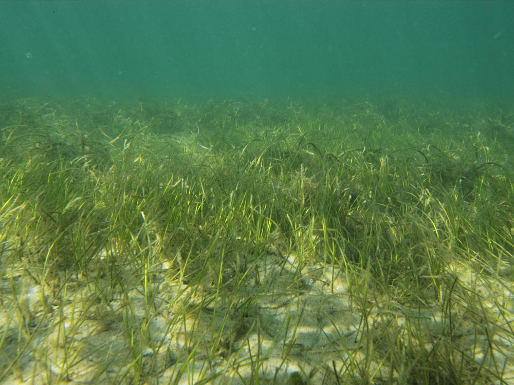
Seagrasses are recognized as one of the most important habitats within the Loxahatchee River estuary and the Indian River Lagoon. Seagrasses play a critical role in providing sediment stabilization, nutrient cycling, detrital food sources, and nursery grounds for many recreational and commercially important fisheries. The main objective of this work is to document the density, distribution and species composition of seagrasses found within the Loxahatchee River and the southernmost portion of the Indian River Lagoon. This work is instrumental for environmental management efforts, such as the Comprehensive Everglades Restoration Program. These reports document the spatial and temporal variation of the seagrass in the Loxahatchee River Estuary and the distribution of seagrass species mapped with landscape scale monitoring.
Data Explorer
Reports
- Effects of Glyphosate on Seagrass (Owen Silvera FAU 2021 Student Project)
- Seasonal Seagrass Occurrence Patterns (2020)
- Landscape-scale status of seagrasses in the Loxahatchee River Estuary: 2007 and 2010 to 2018 comparisons (2018)
- IRL Symposium Poster (2019)
- Presentation of 2012 findings of Tape Grass (Vallisneria americana) (2012)
- Seagrass Monitoring Report (2009-2010)
- Seagrass Monitoring Report (2007-2008 )
- 2021 Bimonthly Seagrass Report Final
- 2023 Karen Galonka Island Seagrass Report
- Effects of Two Hurricanes on Syringodium filiforme, Manatee Grass, Within the Loxahatchee River Estuary, Southeast Florida (2006)
- Loxahatchee River Monthly Seagrass/Algae Monitoring (2006)
- An Evaluation of Seagrass Communities in the Southernmost Reach of the Indian River Lagoon (2000)
- Distribution, Density and Composition of Seagrasses in the Southernmost Reach of the Indian River Lagoon (1998)
Maps & Mapping Data
- Sample Locations Map
- Esri shapefile of 2010 Landscape-Scale Mapping Data
- 2010 Seagrass Maps
- Map of Patch-Scale Seagrass Monitoring sites
- Map of 2007 Landscape-scale Seagrass Map – All Species Combined
- Map of 2007 Landscape-Scale Seagrass Map – Individual Species
- Esri shapefile of Seagrass Monitoring Sites
- Esri shapefile of 2007 Landscape-Scale Mapping Data

